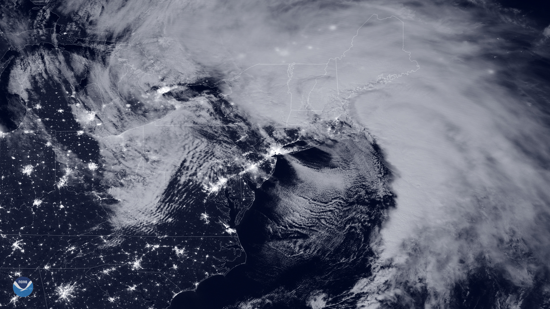
A developing coastal storm could bring rain and wind gusts to Lexington and Concord beginning Friday, Sept. 25, though forecasters say the storm's path remains uncertain and the outlook may change before week's end.
The National Weather Service office in Norton forecast as of Tuesday afternoon, Sept. 22, showed a 30% chance of showers Friday with gusts up to 29 mph. Friday night brings another 30% chance of rain and gusts up to 28 mph, with a low near 53°F. Saturday's chance of showers stands at 50%, with gusts up to 34 mph.
The storm's path remains uncertain.
The storm could become the first nor'easter of fall if it develops as projected. The NWS Boston office said Sunday, Sept. 20, that it was monitoring a potential coastal storm but that confidence remained low in what impacts, if any, would be felt across the region.
A full moon later this week is expected to raise astronomical tide levels, and the storm could push water levels higher still, according to AccuWeather. That combination increases the risk of coastal flooding from the mid-Atlantic into southeastern New England over the weekend. Gusts exceeding 60 mph are possible along the immediate coast near Massachusetts Bay in some scenarios, though that risk applies to coastal areas rather than inland communities like Lexington and Concord.
With leaves still on the trees in late September, even moderate gusts could cause localized power outages. Eversource, the electric utility serving both towns, allows customers to report outages, view an outage map and sign up for alerts at eversource.com.
No local advisories from Lexington or Concord emergency management offices were found online as of Monday afternoon. The NWS is expected to update its forecast as the storm's track becomes clearer later this week.
Residents can monitor the latest NWS forecast for Lexington and Concord directly at weather.gov.